xarray-spatial
Xarray-Spatial implements common raster analysis functions using Numba and provides an easy-to-install, easy-to-extend codebase for raster analysis.
Installation
# via pip
pip install xarray-spatial

# via conda
conda install -c conda-forge xarray-spatial
Dowloading our starter examples and data
Once you have xarray-spatial installed in your environment, you can use one of the following in your terminal (with the environment active) to download our examples and/or sample data into your local directory.
xrspatial examples : Download the examples notebooks and the data used.
xrspatial copy-examples : Download the examples notebooks but not the data. Note: you won't be able to run many of the examples.
xrspatial fetch-data : Download just the data and not the notebooks.
In all the above, the command will download and store the files into your current directory inside a folder named 'xrspatial-examples'.
 |
 |
 |
 |
 |
 |
 |
 |
 |
 |
 |
 |
 |
 |
 |
 |
 |
 |
 |
 |
 |
 |
 |
 |
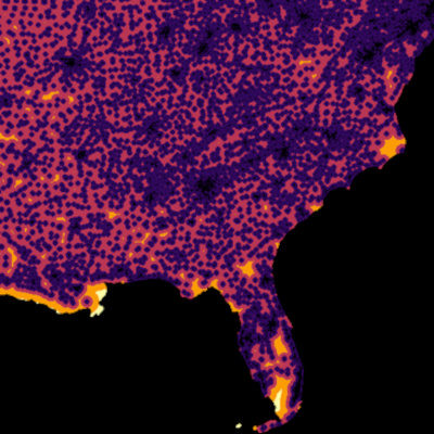 |
xarray-spatial grew out of the Datashader project, which provides fast rasterization of vector data (points, lines, polygons, meshes, and rasters) for use with xarray-spatial.
xarray-spatial does not depend on GDAL / GEOS, which makes it fully extensible in Python but does limit the breadth of operations that can be covered. xarray-spatial is meant to include the core raster-analysis functions needed for GIS developers / analysts, implemented independently of the non-Python geo stack.
Our documentation is still under constructions, but docs can be found here.
Raster-huh?
Rasters are regularly gridded datasets like GeoTIFFs, JPGs, and PNGs.
In the GIS world, rasters are used for representing continuous phenomena (e.g. elevation, rainfall, distance), either directly as numerical values, or as RGB images created for humans to view. Rasters typically have two spatial dimensions, but may have any number of other dimensions (time, type of measurement, etc.)


